Project challenges
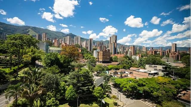
Identify the surveying of the area intended for urban planning construction . This area has different challenges: tall vegetation, hard-to-reach areas, and steep slopes.
Solutions
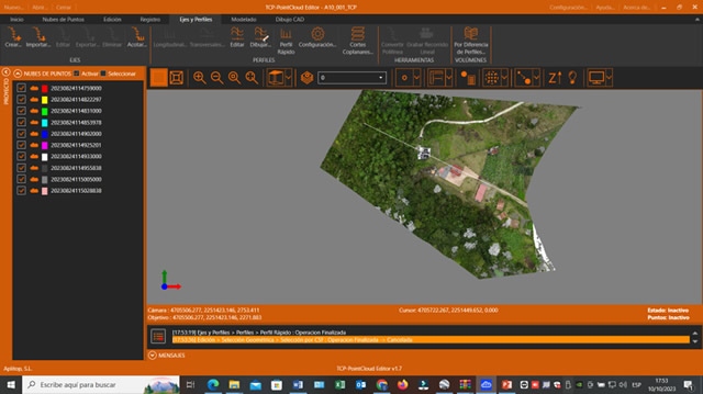
A CHCNAV 8-return lidar system drone was used for data acquisition. The classification, editing, and visualization of the point cloud was done with the Tcp PointCloud Editor software.
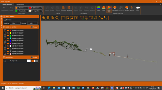
Initially, a classification and filtering of the information was carried out, later profile views were taken to know the areas to be built, for which it was necessary to obtain the contour lines, all with the Tcp PointCloud Editor software.
Benefits
The Tcp PointCloud Editor software made office work easier and more efficient, thanks to its complete interface with the necessary tools to obtain good information. In addition, it has documentation in Spanish, which helps to better understand the software. Thanks to all this, the entire project could be delivered in just 3 days.