

tcpScancyr
Software for analyzing point clouds of road and railway tunnels from a 3D scanner
About the product
- Calculation of tunnel profiles for roads, railways and mines
- Definition of tunnel sections numerically, graphically or by importing files
- Works from terrestrial scanner data in the main formats
- Visualization and cleaning of the point cloud
- Customizable profile calculation and representation
- Reports of areas and volumes, stake-out, axis deviation, etc.
- Inspection maps and orthoimages
- Simulation of the route through the tunnel and video generation
tcpScancyr screenshots
Explore screenshots and examples of the product in action
Solutions by sector
See how tcpScancyr adapts to the needs of your professional sector.
BIM
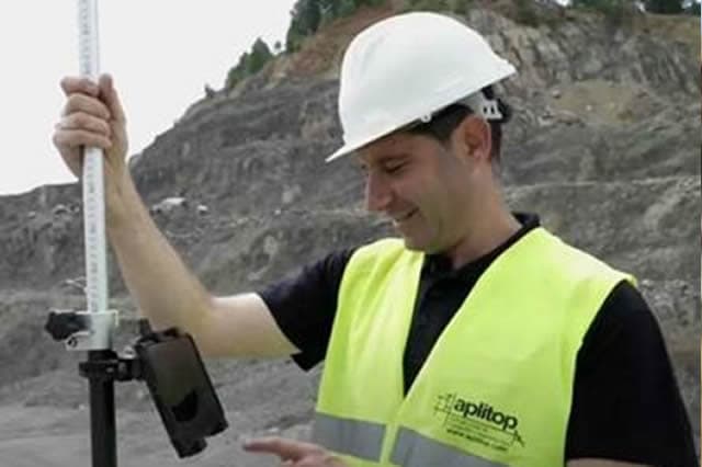
Our software makes it easy to exchange surveying and civil project data through industry OpenBIM standards such as IFC and BCF.
Civil Engineering
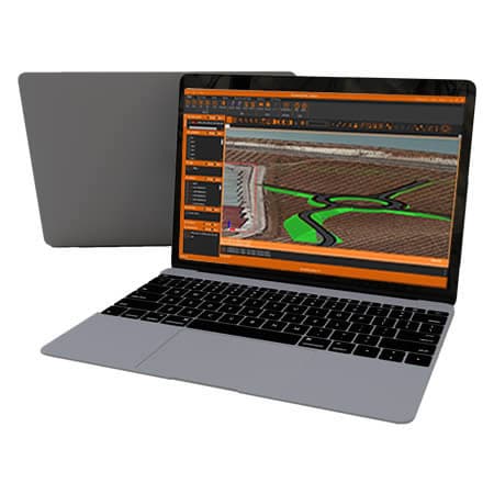
Solutions that streamline the development of roads, railways, tunnels, dams, power lines, pipelines and all kinds of civil works.
View solution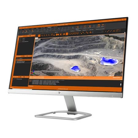
Quarries and Mining
We offer solutions to cover the needs of all kinds of quarries and mines, both open-pit and underground.
View solutionFrequently Asked Questions
Answers to common questions about tcpScancyr
tcpScancyr is an Aplitop application for analyzing tunnel point clouds obtained with a 3D scanner. It lets you generate sections, view and clean points, calculate profiles, obtain area and volume reports, create inspection maps and simulate routes.
tcpScancyr is used to generate cross sections of tunnels from laser scanner data. It is useful for geometric control, excavation analysis, inspection, technical documentation and tunnel monitoring in road, railway and mining projects.
tcpScancyr can be applied to road, railway and mining tunnels. It is geared toward projects that need to analyze point clouds, compare sections, calculate profiles, review geometries and generate technical documentation from data captured with a terrestrial scanner.
Yes. tcpScancyr lets you examine the point cloud in a 3D viewer, switch between orthogonal and perspective views and apply filtering tools. It can also represent the points with different symbologies to make tunnel inspection and analysis easier.
Yes. tcpScancyr lets you compare the tunnel's design section with the point cloud captured on site, providing a view of the as-is or as-built state. This helps detect deviations, analyze under- and over-excavation, review geometries and document the actual progress of the tunnel.
tcpScancyr generates reports of areas and volumes, tunnel profiles, graphic representations, deviation data and exportable results. These deliverables help document the state of the tunnel, analyze differences against the design and support the technical control of the work.
Yes. tcpScancyr lets you create inspection maps and orthoimages from the tunnel point cloud and the section. These outputs make visual review easier, help detect relevant areas and improve the communication of results between technical teams, site and office.
tcpScancyr focuses on analyzing tunnel point clouds captured with a 3D scanner. tcpTUNNEL works in the field with a total station, tcpTUNNEL CAD processes total station data in the office, and tcpTUNNEL Scan controls tunnels in real time with TOPCON GTL hardware.
Ready to try tcpScancyr?
Download the free trial version or request a custom quote for your company.